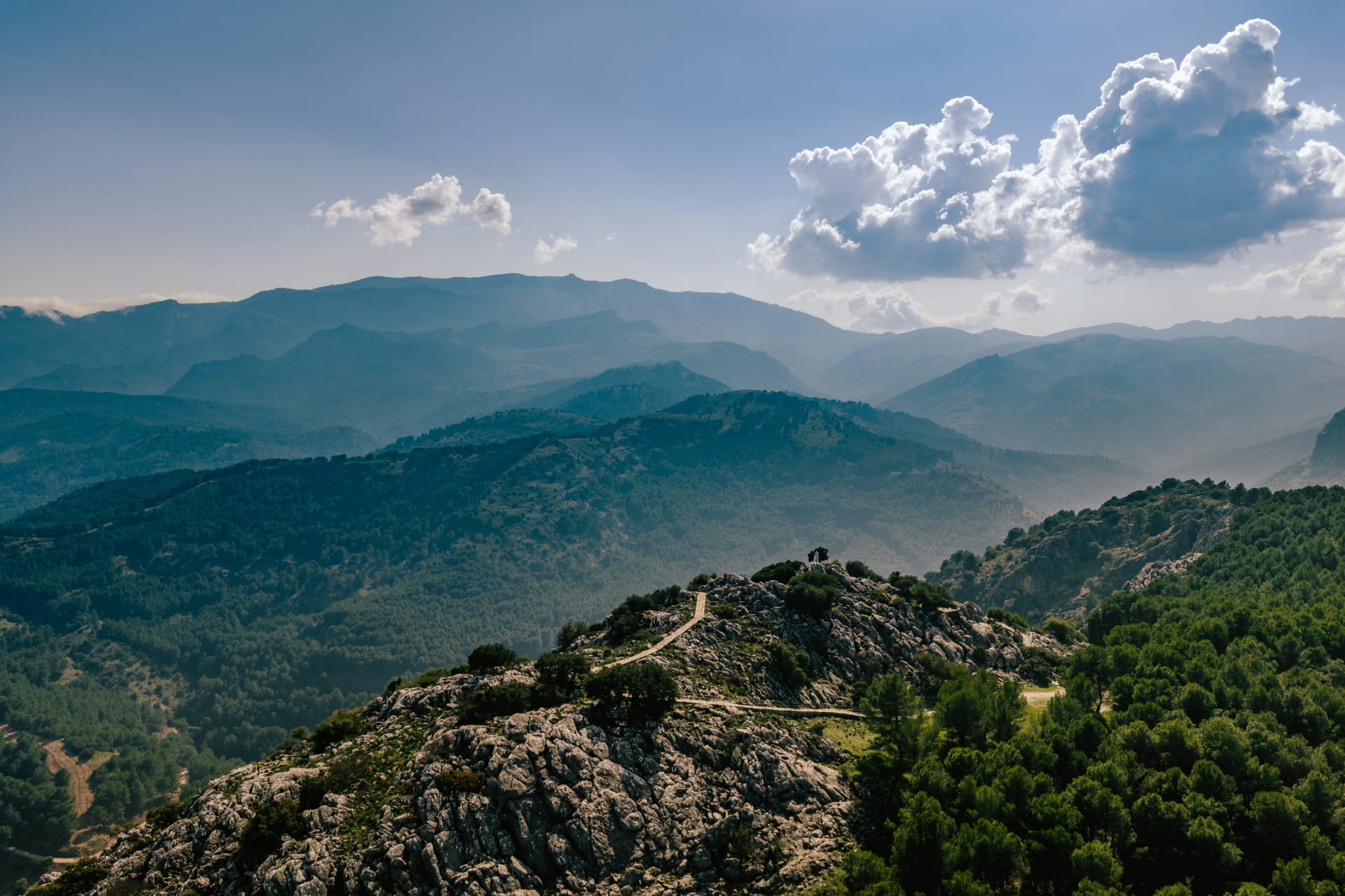
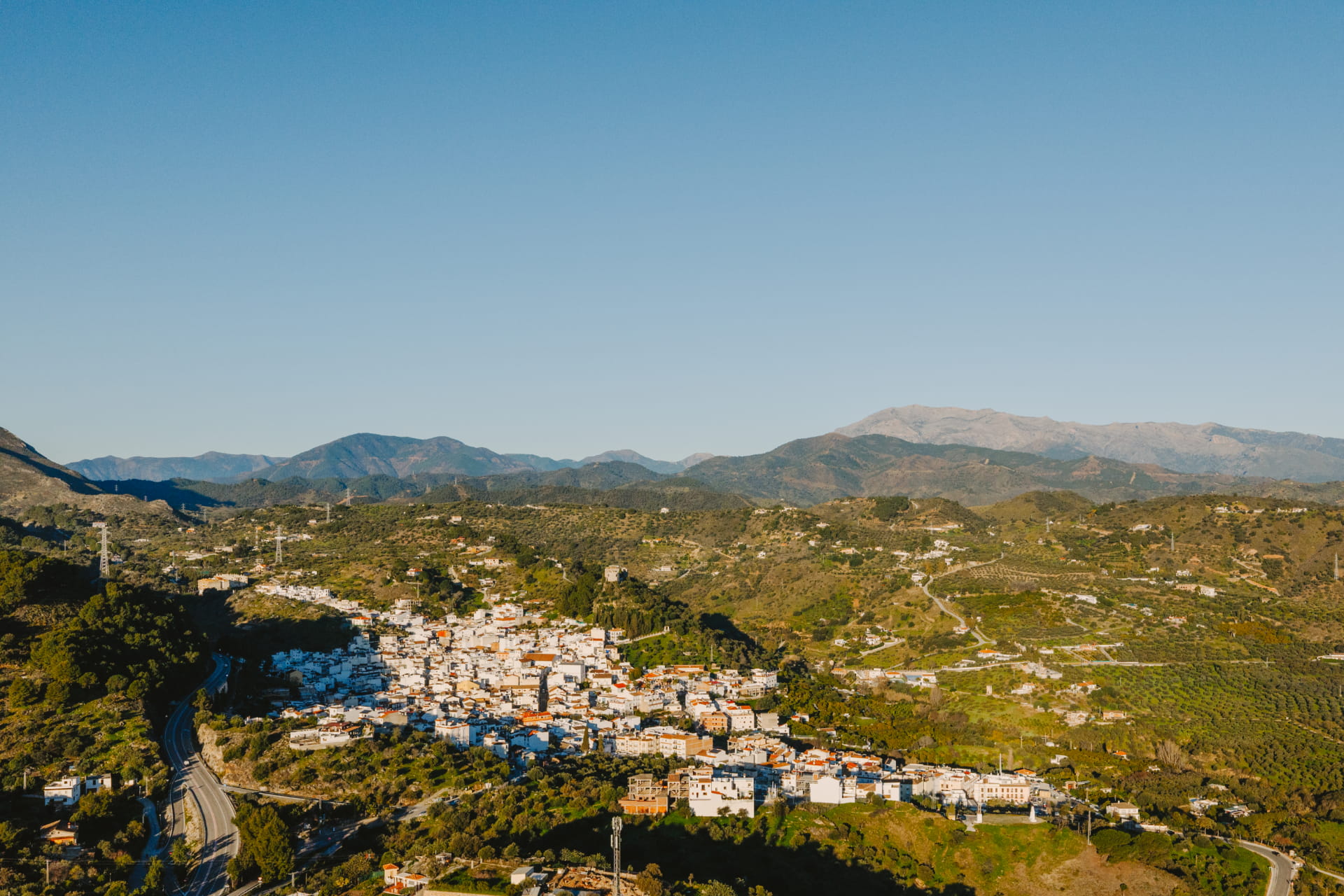
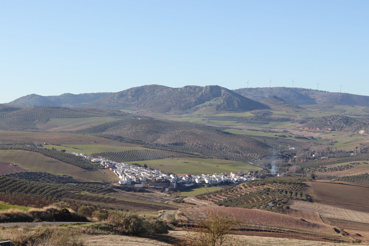
The route is a charming and accessible ride, 10.01 km long with an elevation gain of approximately 303 meters. Starting from the picturesque town of Monda, cyclists head south, descending toward the Alpujata Stream. This first section offers a relaxing natural setting, with serene views and a peaceful atmosphere that make for a very pleasant start to the ride.
From the Alpujata Stream, the route continues northeast, crossing varied terrain and gradually ascending until it reaches the road that will take us back to Monda. This part of the route includes gentle ascents and descents that allow you to enjoy the scenery without too much difficulty. The return to Monda via the road provides a comfortable and pleasant end to the route, allowing cyclists to explore more of this charming town with its narrow streets and welcoming atmosphere. This route is ideal for intermediate cyclists looking for a combination of moderate challenge with the scenic beauty and tranquility of the rural setting.
The route is a charming and accessible ride, 10.01 km long with an elevation gain of approximately 303 meters. Starting from the picturesque town of Monda, cyclists head south, descending toward the Alpujata Stream. This first section offers a relaxing natural setting, with serene views and a peaceful atmosphere that make for a very pleasant start to the route.
From the Alpujata Stream, the route continues northeast, crossing varied terrain and gradually climbing until it reaches the road that will take us back to Monda. This part of the route includes gentle ascents and descents that allow you to enjoy the scenery without too much difficulty. The return to Monda via the road provides a comfortable and pleasant end to the route, allowing cyclists to further explore this charming town with its narrow streets and welcoming atmosphere. This route is ideal for intermediate cyclists looking for a combination of moderate challenge with the scenic beauty and tranquility of the rural setting.




 Mancomunidad




 7.1 km