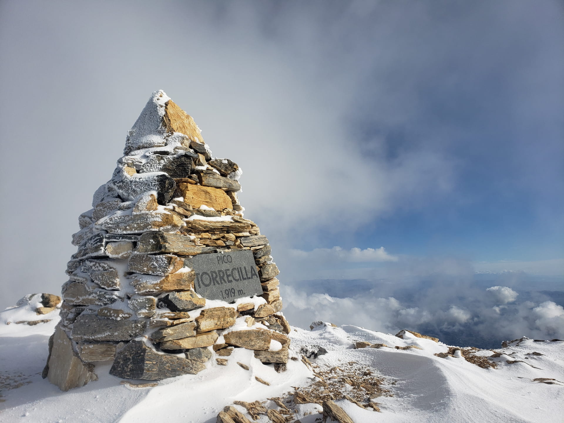
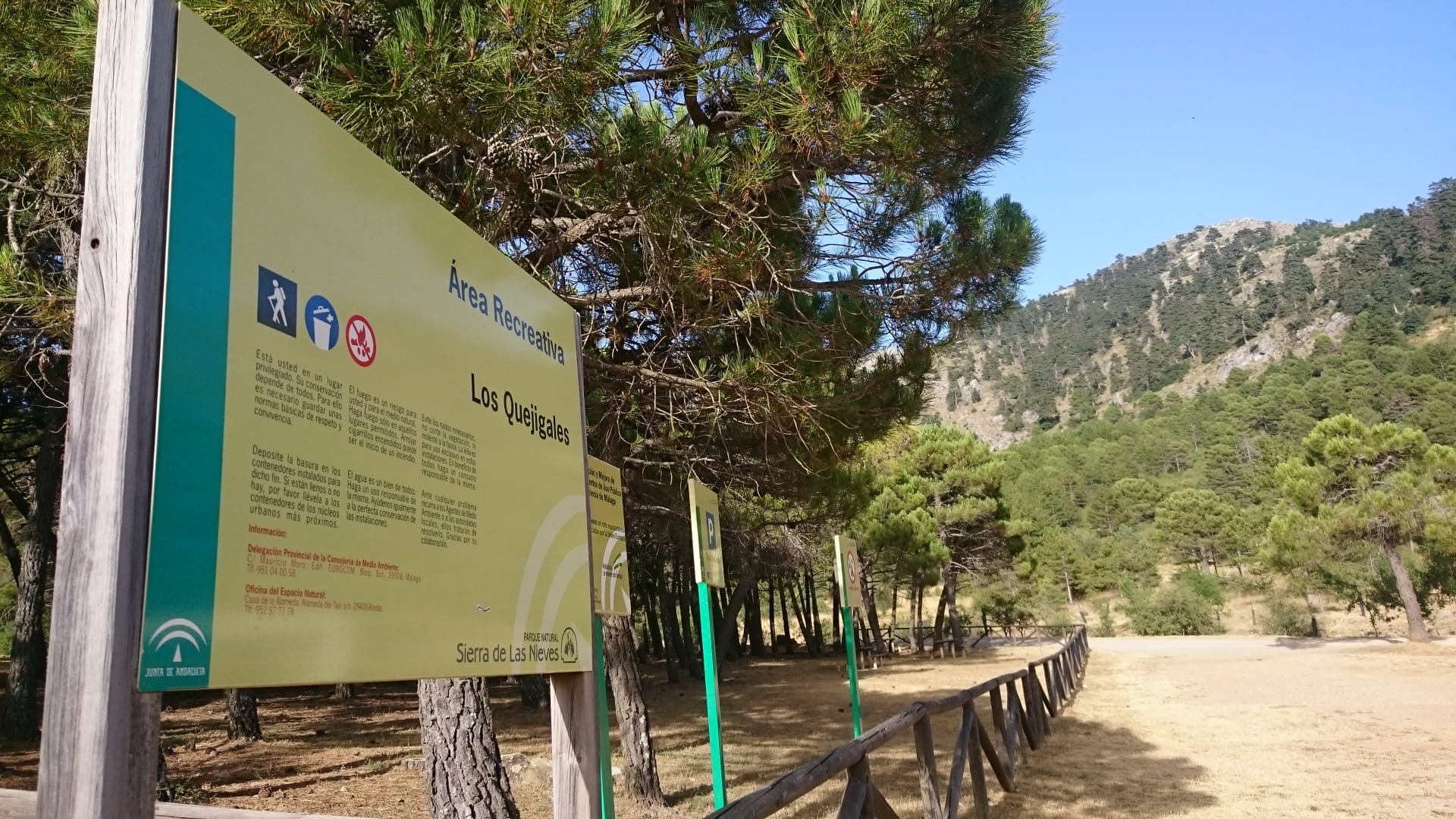
Probably the most popular trail in the Sierra de la Nieves National Park, it begins at the Los Quejigales recreation area and climbs to the highest point in western Andalusia, the Torrecilla peak.
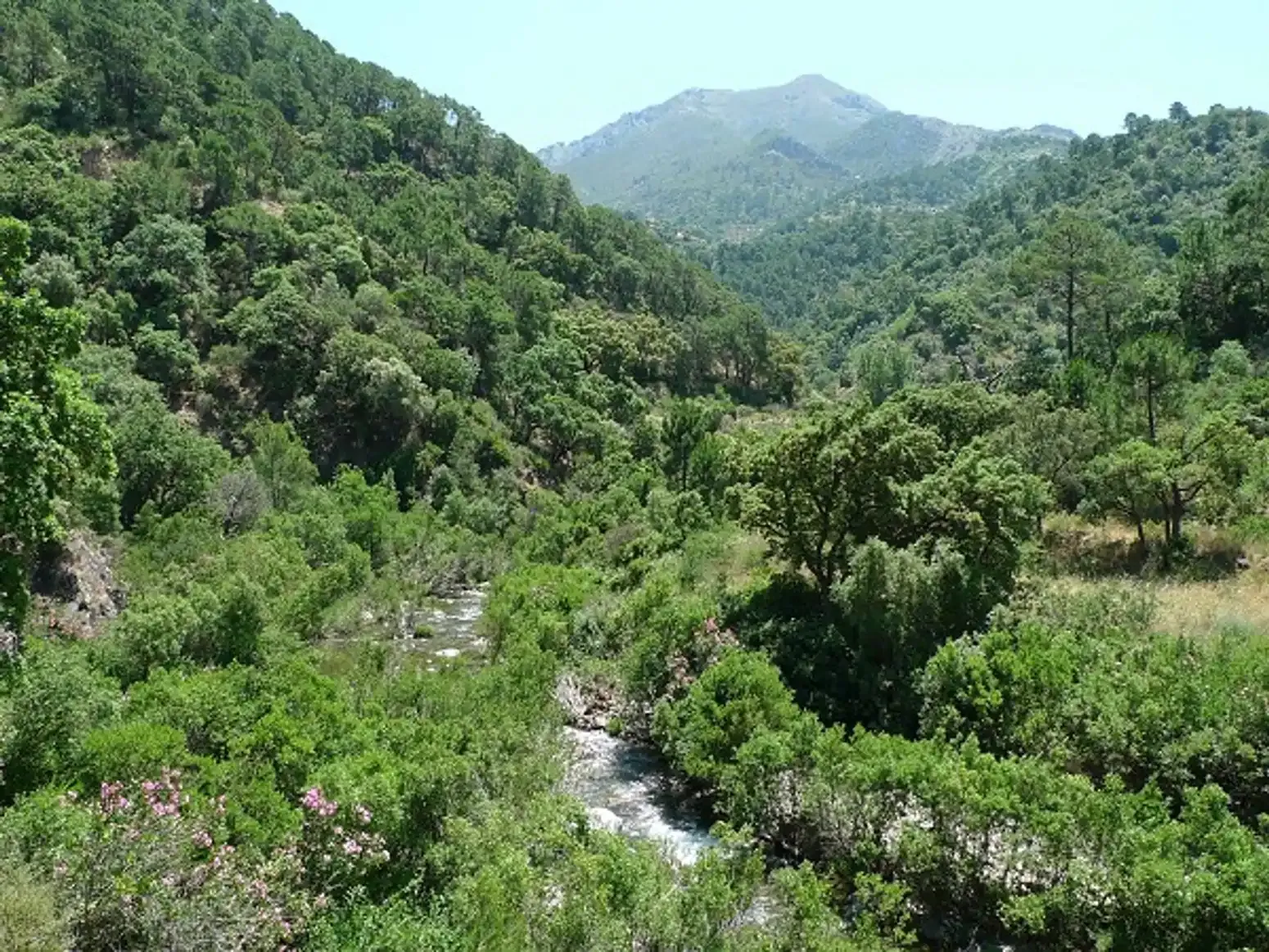
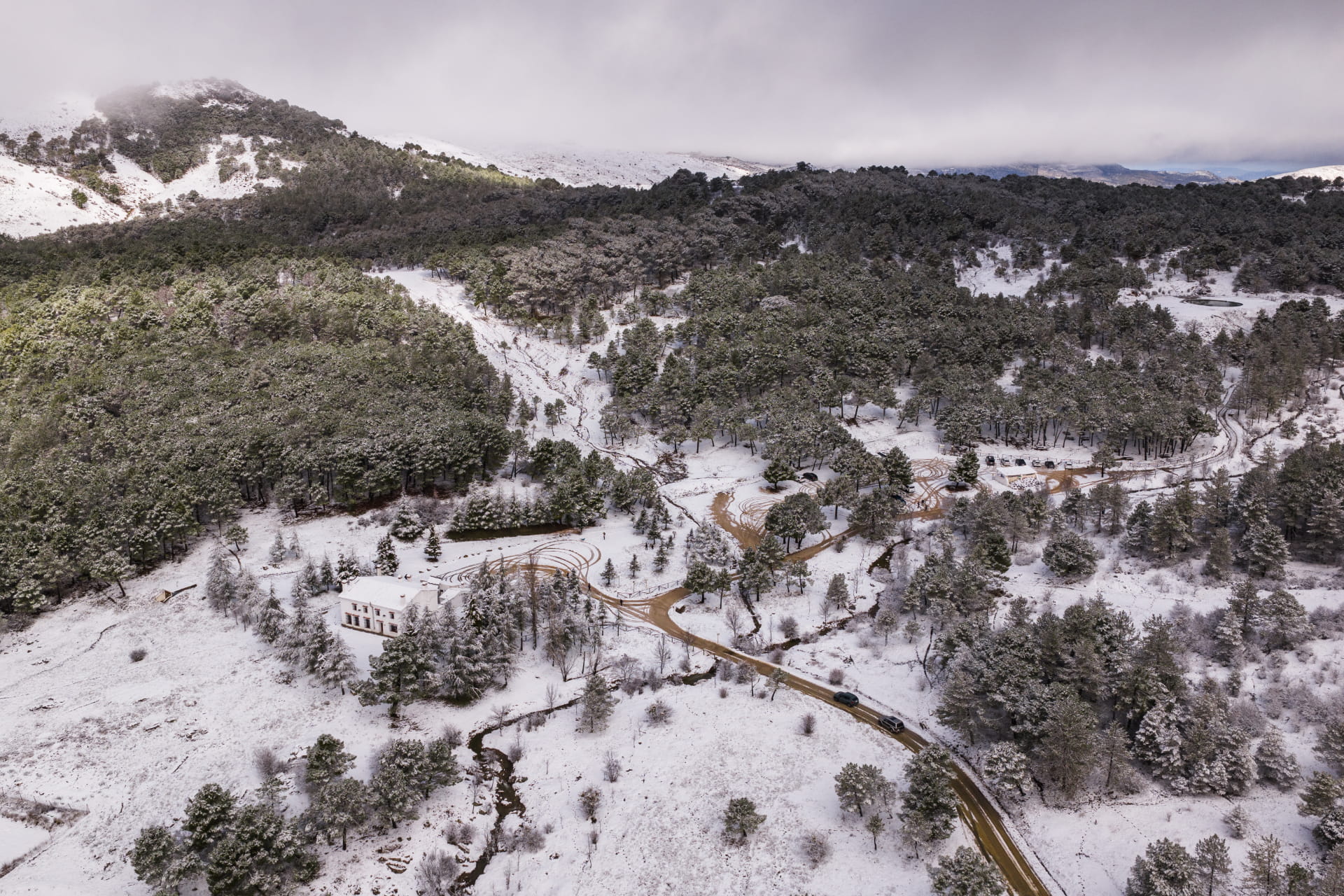
The ruggedness of the mountainous landscape—especially when covered in snow—the succession of diverse plant communities resulting from variations in elevation, and the varied panoramic views make this route one of the best ways to explore the park.
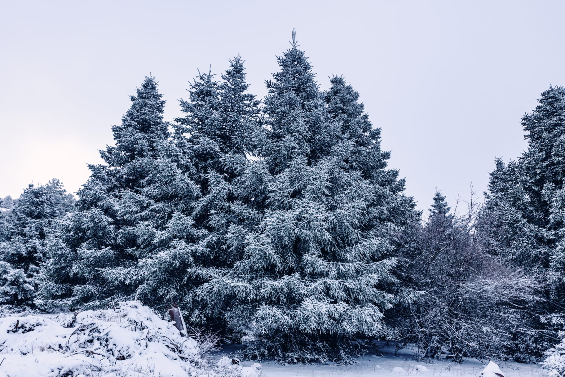
The route begins next to the Quejigales recreation area, where we start the challenging but breathtaking ascent of the Cañada del Cuerno, surrounded by centuries-old Pinsapo firs, until reaching the summit of the Pilones Pass, where the Torrecilla peak comes into view and the vegetation changes completely to an ecosystem alternating between quejigo oaks and high-mountain meadows. We’ll pass by a reconstructed snow well, an example of the ancient craft of snow farming that once existed in the mountains.
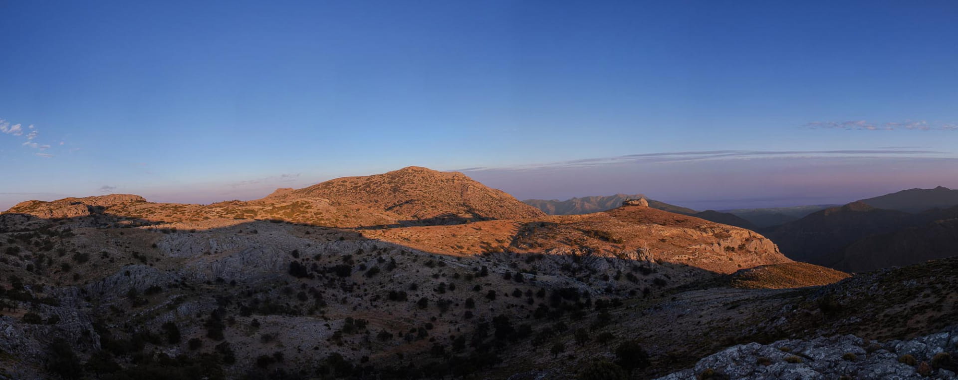
Amid limestone sinkholes and deep chasms, we’ll reach the Pilar de Tolox, at the foot of Torrecilla, just before the final steep ascent. At the summit, we’ll enjoy panoramic views of western Andalusia and, on clear days, of North Africa.





 Mancomunidad