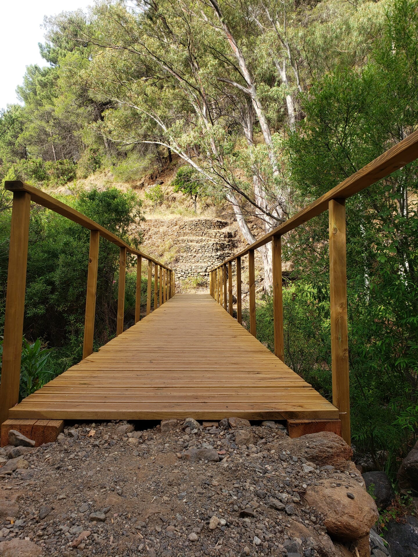
It is a linear trail that is well-marked and in good condition, offering excellent panoramic views. About half of the trail is shaded, especially in the lower section. The slope is moderate, though it becomes steeper in the final few meters.
Near the summit, it’s best to take the signposted detour to the right, which is easier than the climb that follows. When you reach Valdia, also known as Pico Grajo, you’ll be treated to spectacular views, and it’s a great place to rest or have a picnic.
The trail winds through wooded areas and open stretches, offering good views for much of the way. The climb is gradual, although the final stretch is steeper.
Once you reach the summit, your efforts are rewarded with a sweeping panoramic view of the surrounding area—the perfect spot to relax and enjoy the scenery.



 Mancomunidad