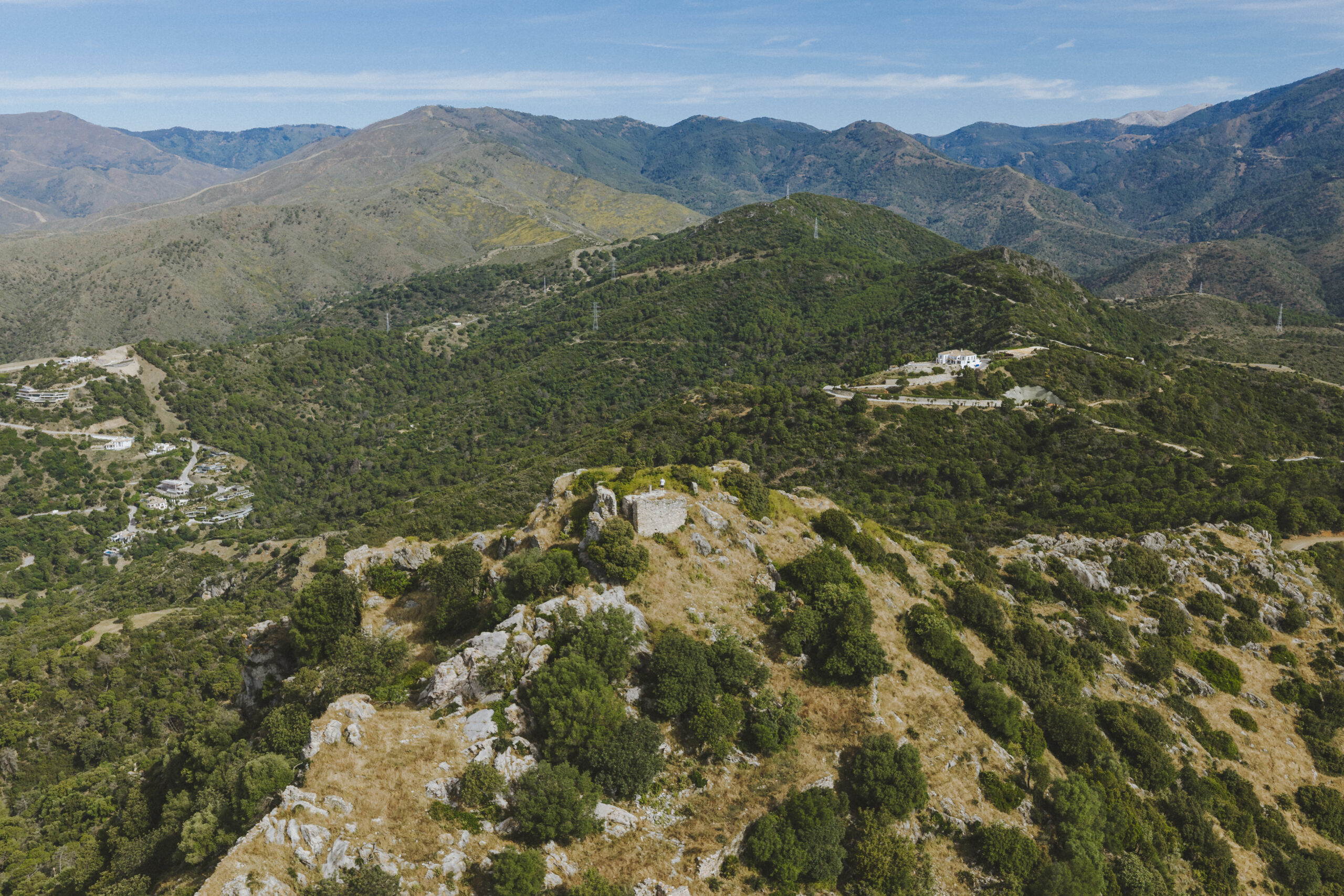
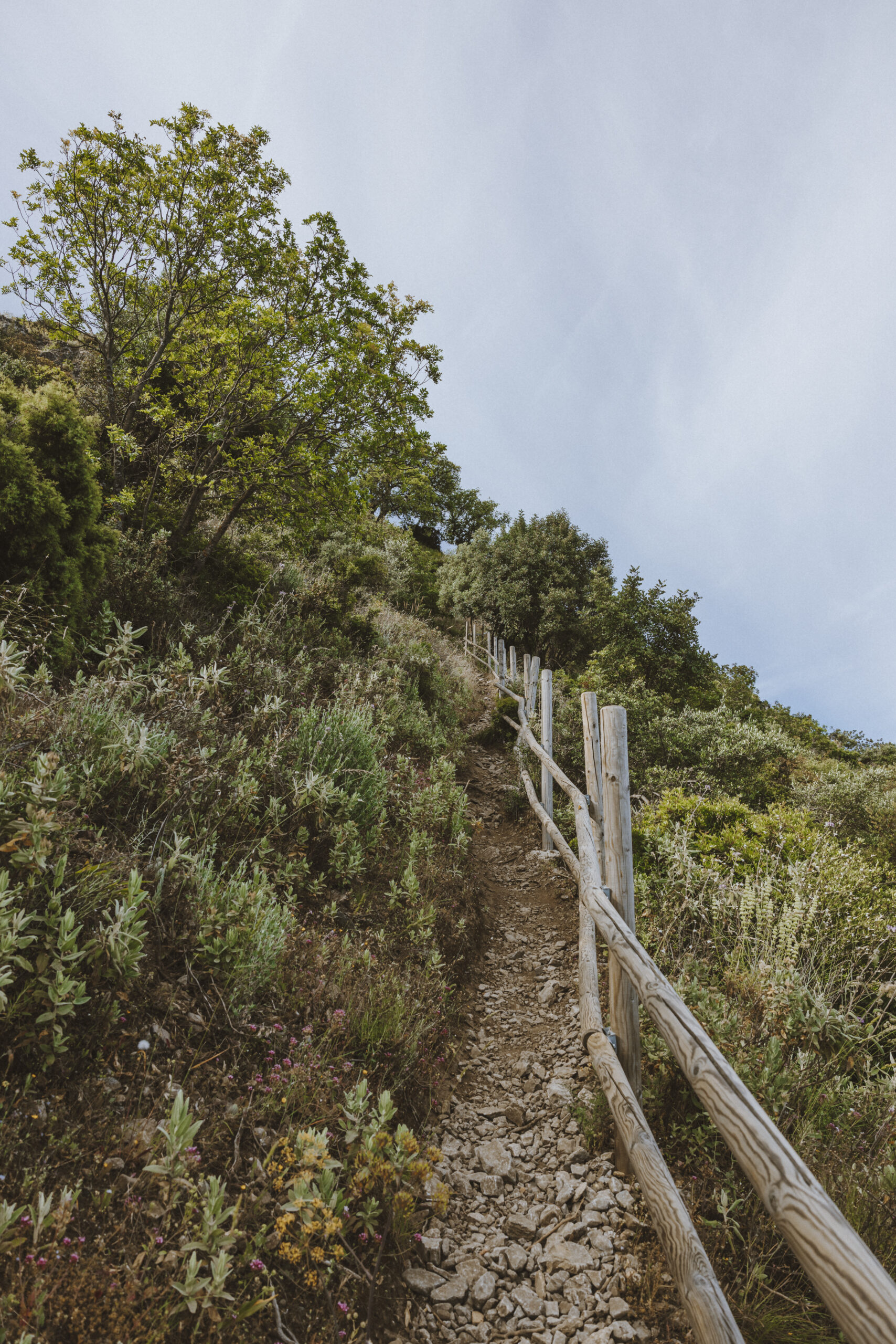

The Munt Mayur fortress is located at an elevation of 579 m, and its origins date back to the 10th century, during the height of the Caliphate. From its vantage point, one can see much of the territory that belonged to the city of Marbella during the Al-Andalus period, as well as parts of the coast of Málaga and North Africa; which is why it held enormous strategic value during the Taifa kingdoms and played an important role in defending the coast against attacks from the sea. The fortress was conquered by the Castilians in 1485.
There is currently a trail suitable for hikers (PR-A-165), which is 3.2 km from the town.
High
Medium / Yes (free)




 Mancomunidad