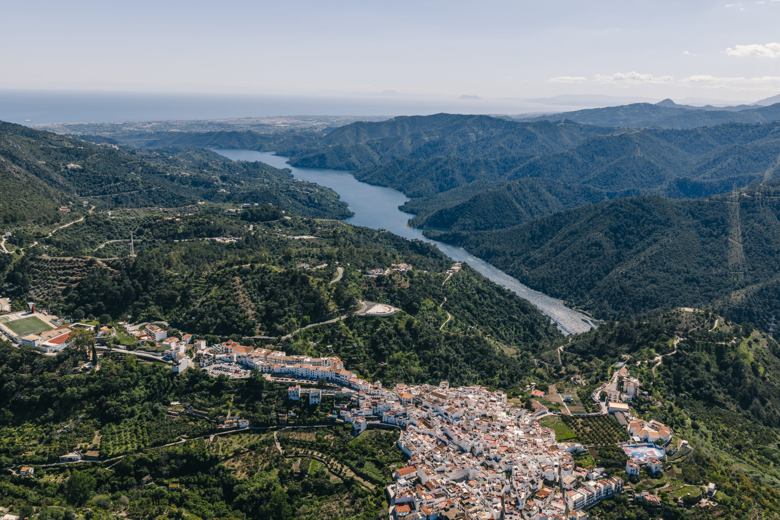
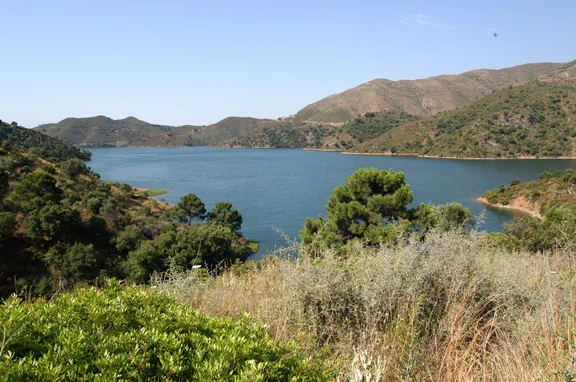

This gravity dam with a straight layout (two alignments) was inaugurated on December 31, 1971, and has been impounding water since 1973. It currently belongs to the Andalusian Mediterranean Basin Hydrographic District (CMA), an agency under the Regional Government of Andalusia that is responsible for managing its resources.
The reservoir, also known as Pantano del Río Verde—because it is located along the river’s course—lies between the municipalities of Marbella and Istán. Its main purpose is to supply water to the towns that make up the Association of Municipalities of the Western Costa del Sol, with an estimated population of about 945,000 (as of 2023), which increases substantially during the summer months (to 1.4 million) due to the region’s world-renowned tourist appeal. It primarily supplies water to the municipalities of Benalmádena, Fuengirola, Mijas, Benahavís, Estepona, Casares, and Manilva.
The watershed covers an area of 142 km², with an average precipitation of 756 mm, which results in an average annual inflow of 75 hm³.
The reservoir collects water from the western slopes of the Sierra de las Nieves and from the Guadaiza, Guadalmina, and Guadalmansa rivers. These tributaries account for 60% of the reservoir’s total water supply. The reservoir has a capacity of 57 hm³ and covers an area of 214 hectares, with a 5-kilometer stretch of river affected by it.
Notable technical specifications for this gravity dam include: a height above the foundation of 90 m, a crest length of 256 m, a crest elevation of 107 m above sea level, a height above the riverbed of 71 m, a foundation elevation of 17 m, and a riverbed elevation of 36 m.
High
Medium / Yes (free)



 Mancomunidad