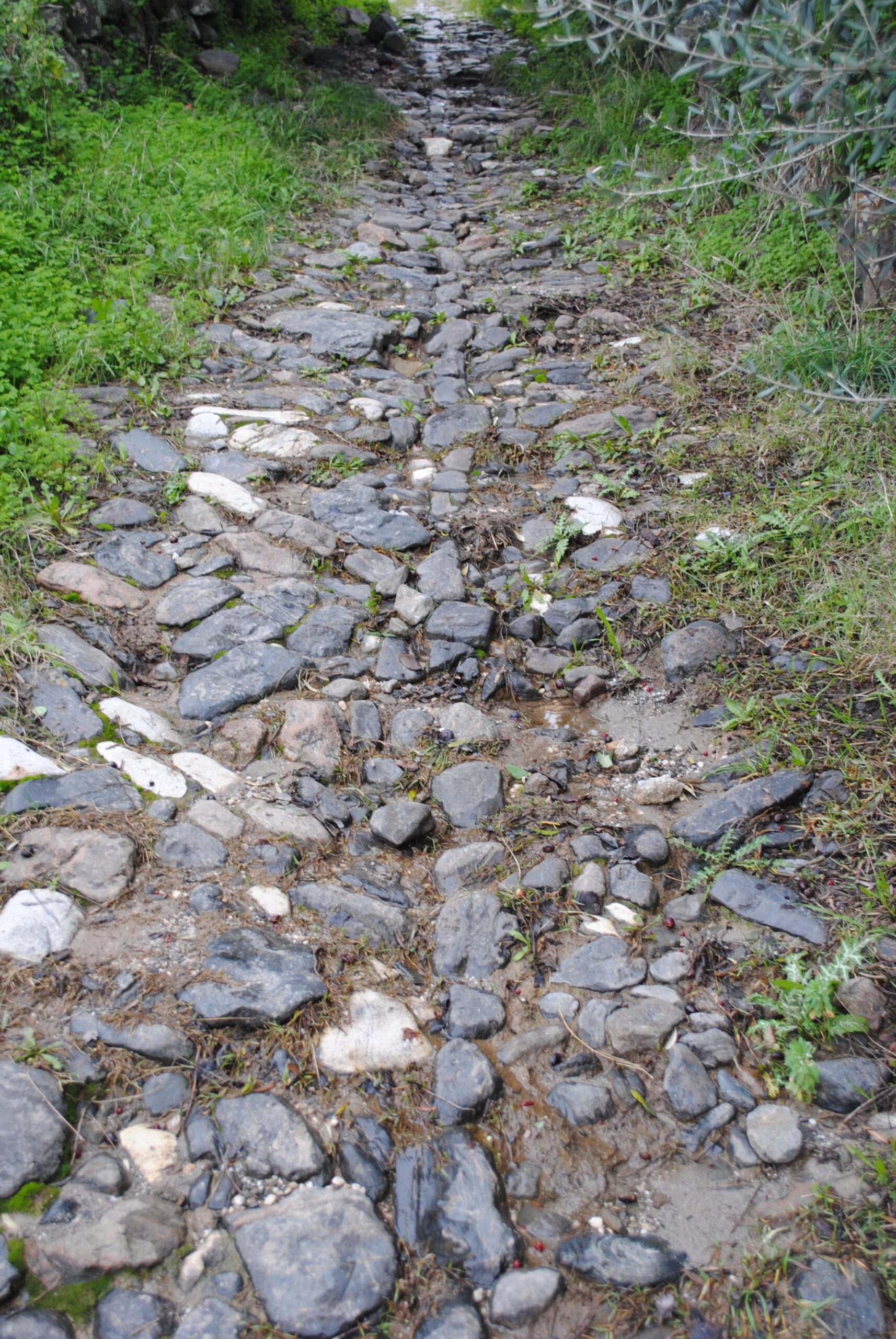

Although it may originally have been a Roman-era road connecting various towns in the Guadalhorce Valley, its current appearance is that of an Andalusí-era bridle path (hence its main feature: stones laid in a double herringbone pattern in the central section), which has undergone repairs over time, particularly in the 18th century. Near the Alcazarín stream, the road is terraced to overcome the elevation change, which does not have a steep gradient. It is located at the town’s outskirts, in the direction of Coín, and the preserved section disappears into the bed of the aforementioned stream.
One of its additional uses is a low-difficulty hiking trail that also provides insights into the town’s history through this old road infrastructure.
High
Medium / Yes (free)


 Mancomunidad