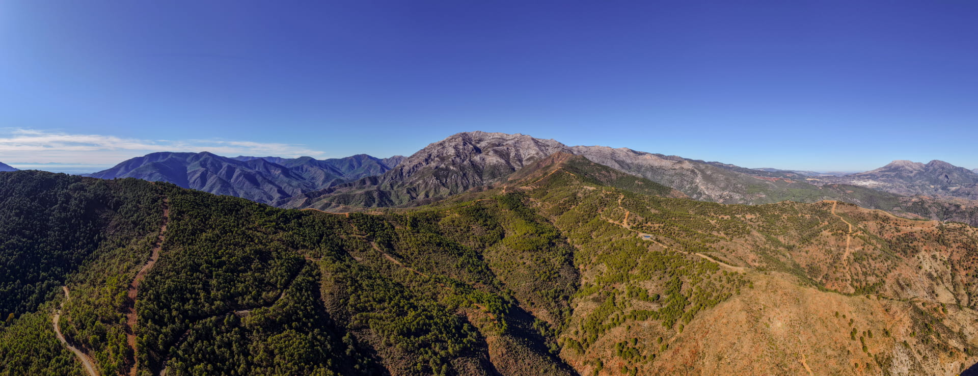
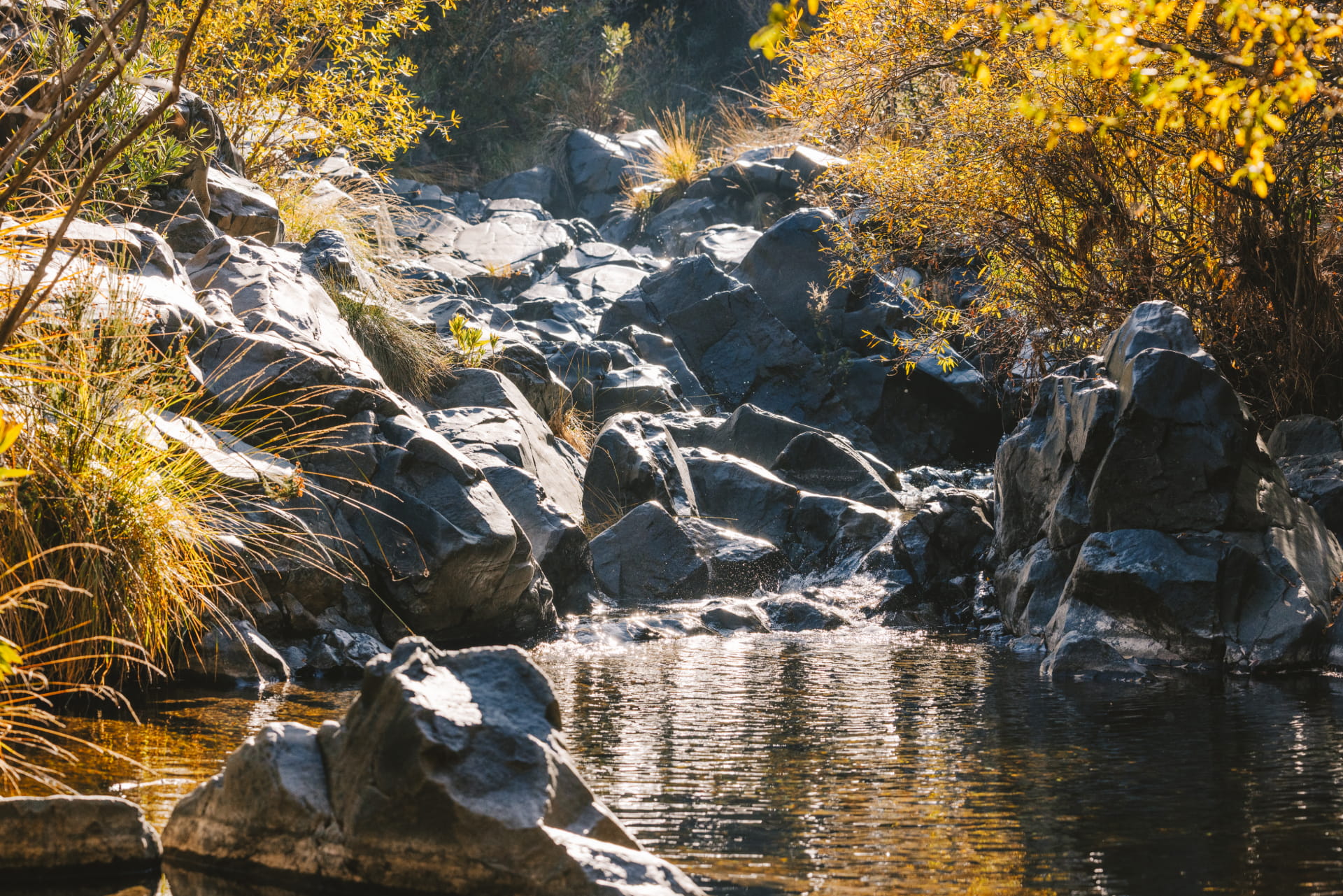
The trail runs along the banks of the Río de los Caballos, which can be accessed from the Fuente Amargosa spa. The trail passes through farmlands irrigated by Nasrid-era irrigation channels, surrounded by the slopes of the Sierra Parda de Tolox, where resin pines, palm hearts, junipers, mastic trees, and gorse grow.
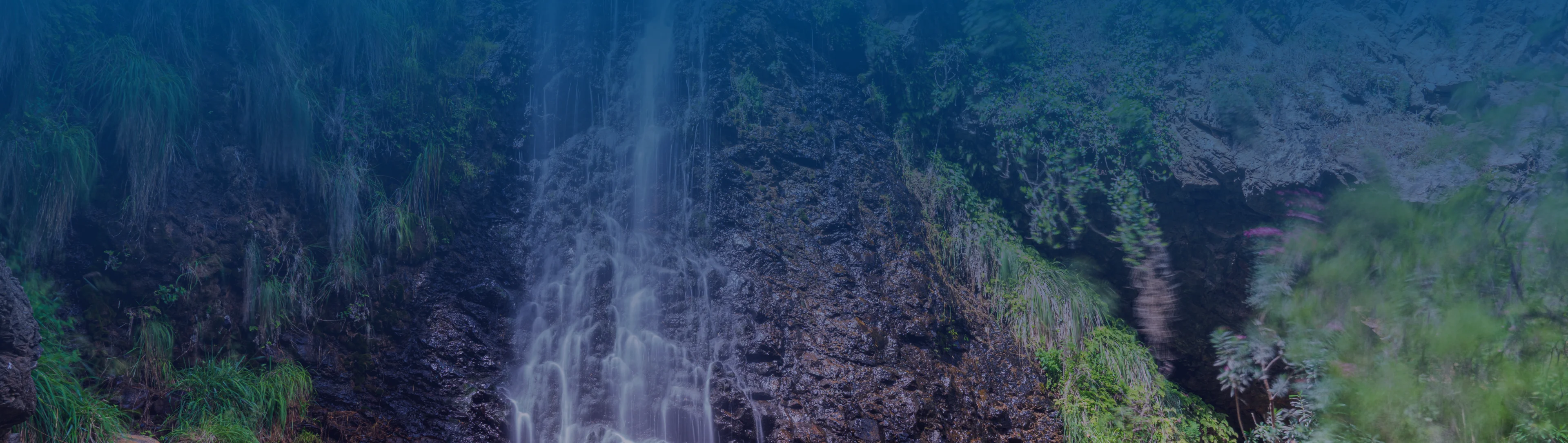
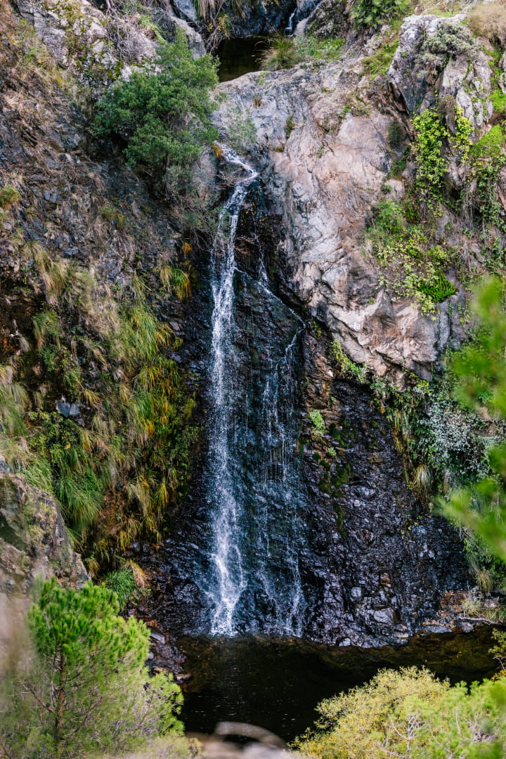
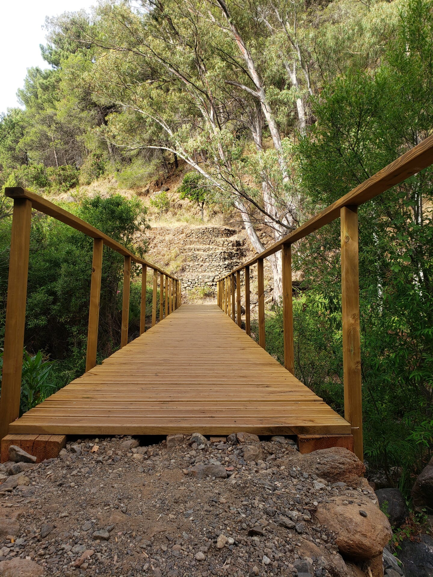
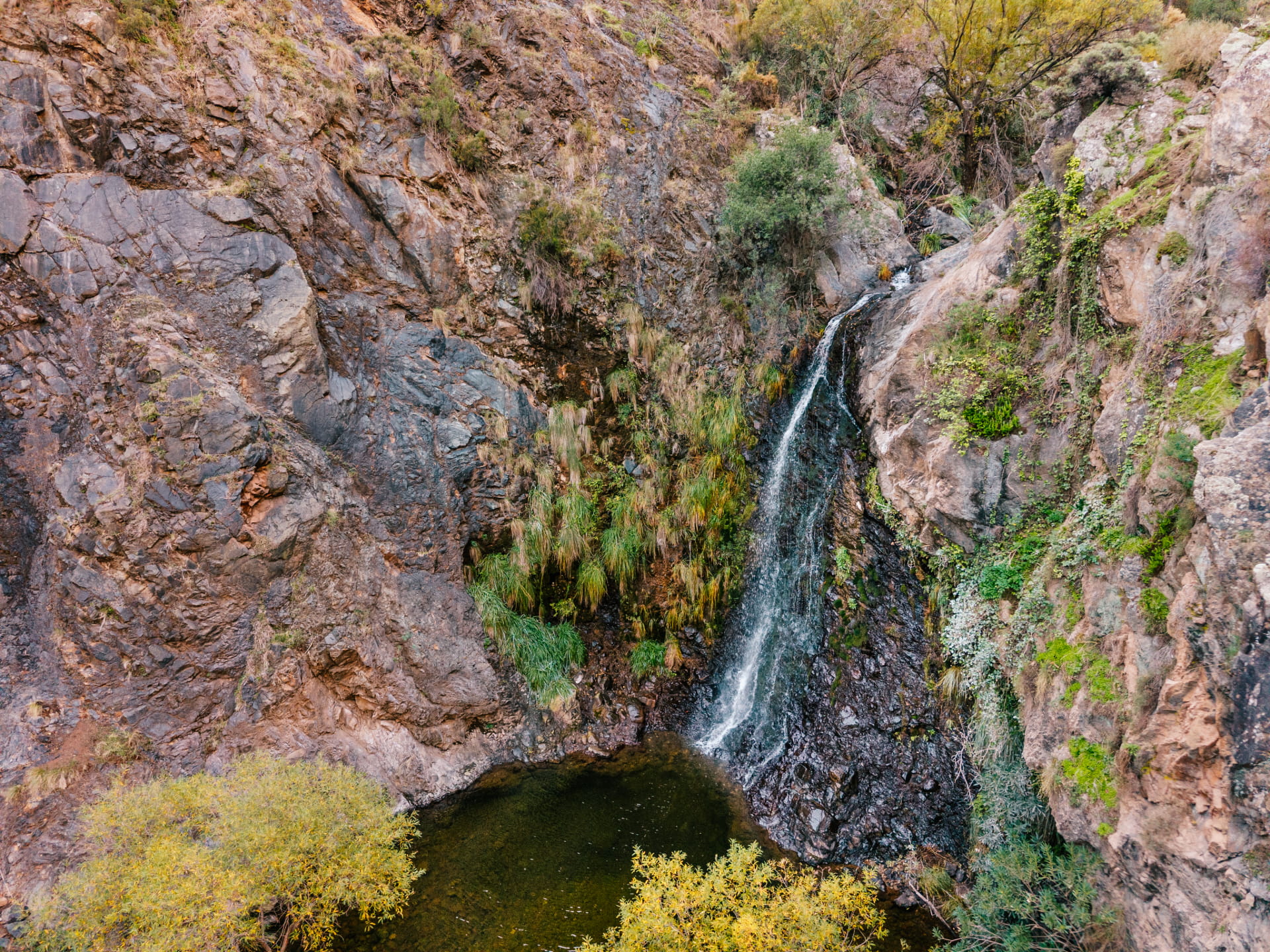
Along the route, you’ll cross the river and the Palmarejo Creek several times, following a mix of trails, paths, and a section of an old irrigation ditch. The hike ends at the Charco de la Virgen, a secluded spot with a waterfall that’s very popular in the summer with swimmers and canyoneers.
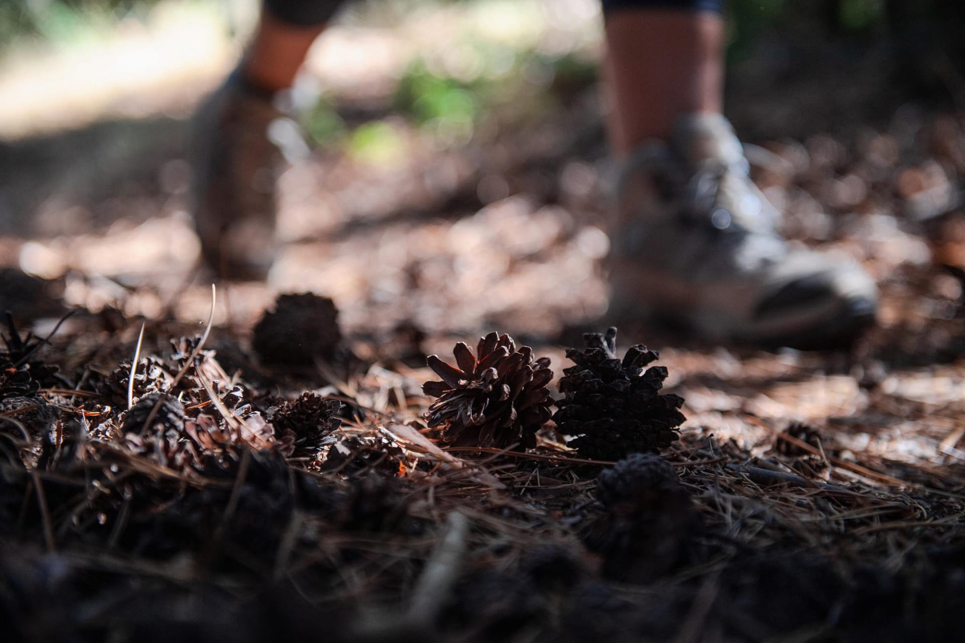
The trail runs alongside the river, crossing several fords and sections of dirt road, footpath, and an old irrigation ditch. The landscape features a mix of riparian vegetation, pine forests, and Mediterranean scrub growing on peridotite soil.
The hike ends at Charco de la Virgen, a natural pool with a waterfall that is very popular in the summer with swimmers and canyoning enthusiasts.




 Mancomunidad