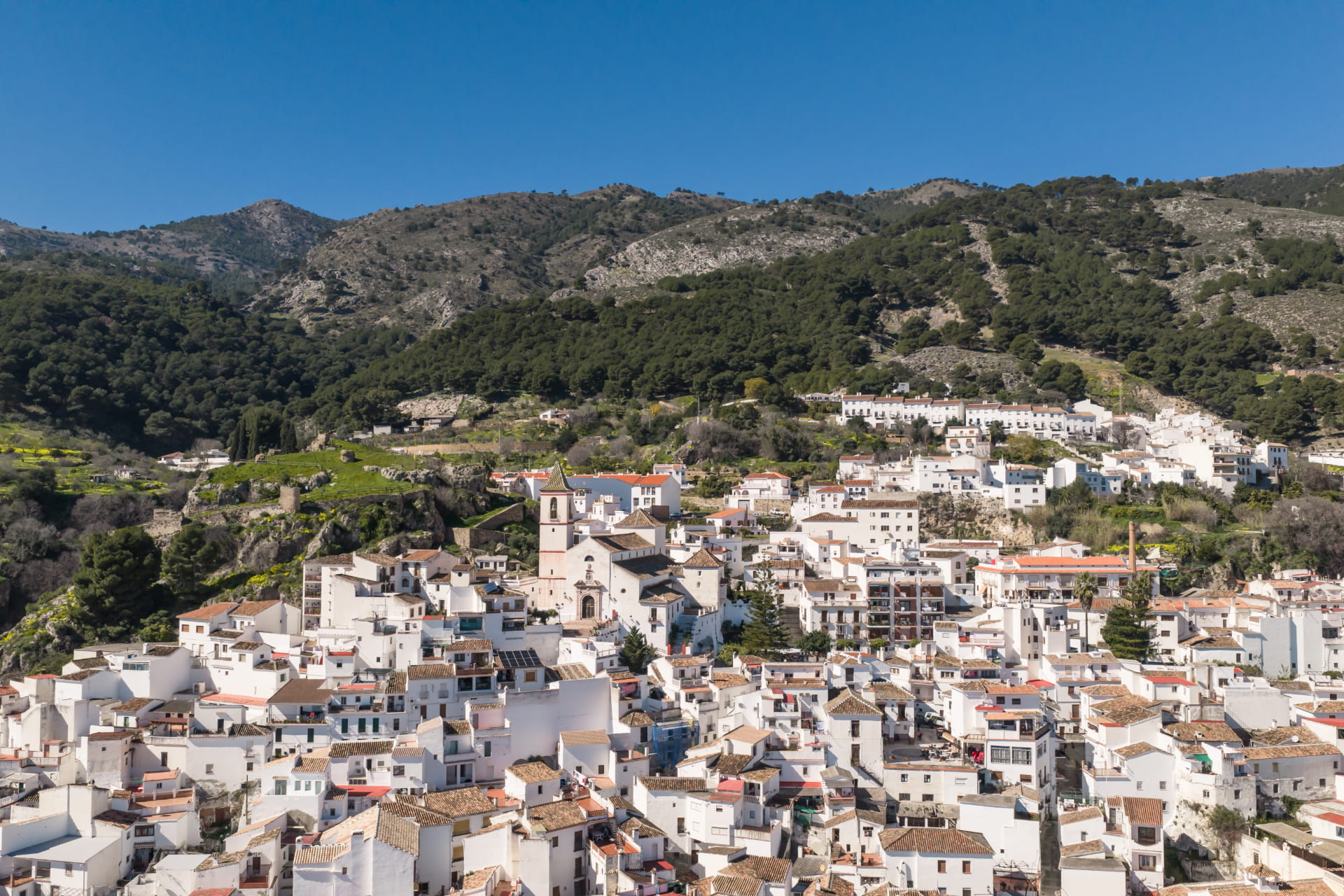
The route begins next to the Casarabonela funeral home, taking the trail that winds its way up through a pine forest to the Cristóbal plain, where you’ll find a picnic area and a spectacular viewpoint overlooking the Guadalhorce Valley region.
From Puerto de la Madera, where several trails converge, we choose the one that climbs westward, passing through the area known as La Ermitica, until it joins the Sierra Prieta trail and the PR-A 270. We now head toward Puerto de la Madera, where our trail meets the PR-A 270.1 variant. The next section takes us to the fork at Puerto de la Madera Alto.
The trail gradually gains elevation through Mediterranean vegetation and pine forests, offering views of the Guadalhorce Valley, the Sierra de las Nieves, and the Serranía de Ronda.
The route reaches the highest points of Sierra Prieta, where the open landscape offers a spectacular panoramic view of the surrounding mountains and valleys.





 Mancomunidad