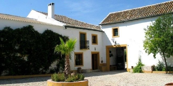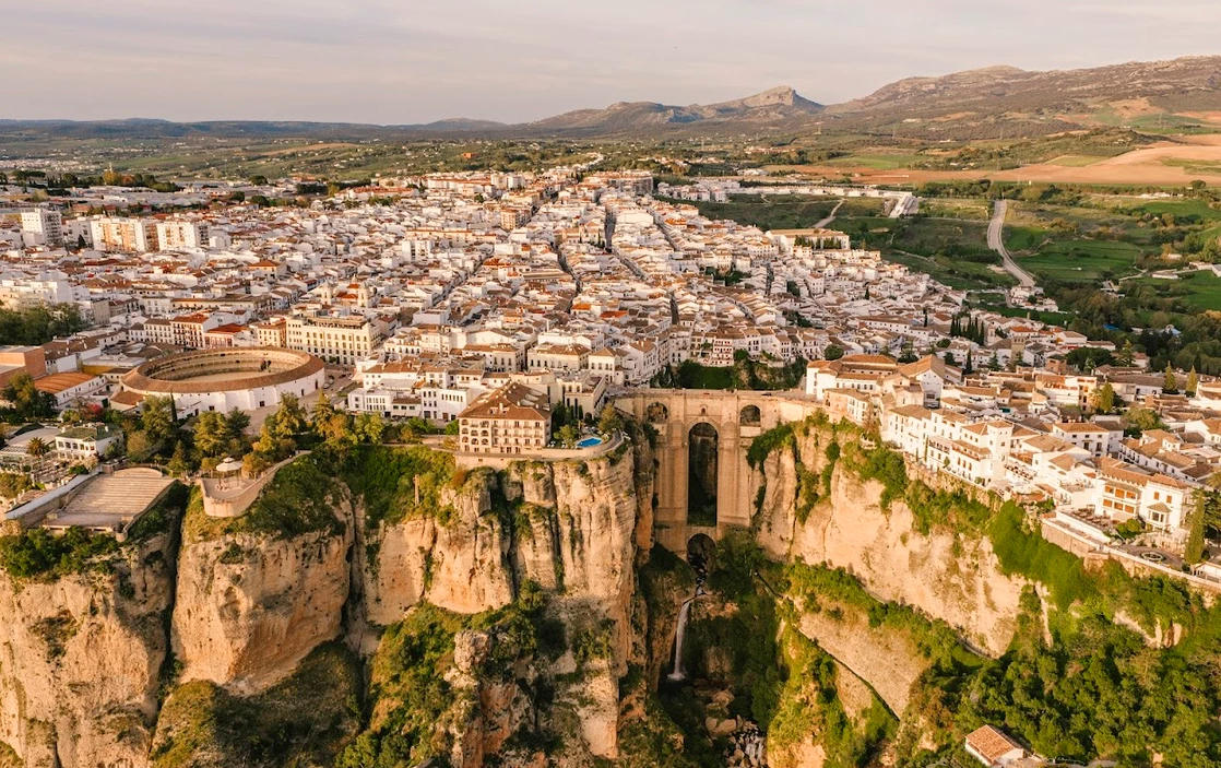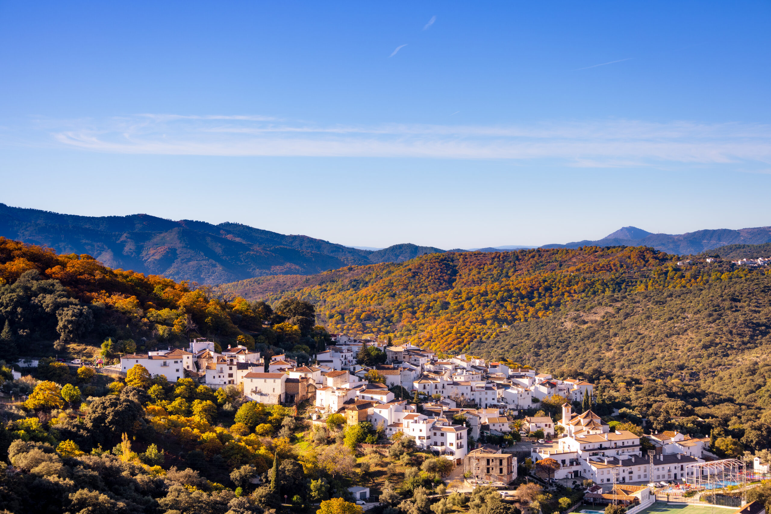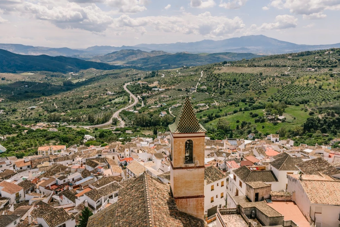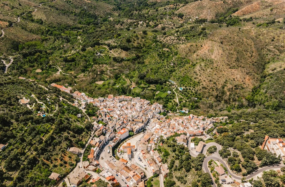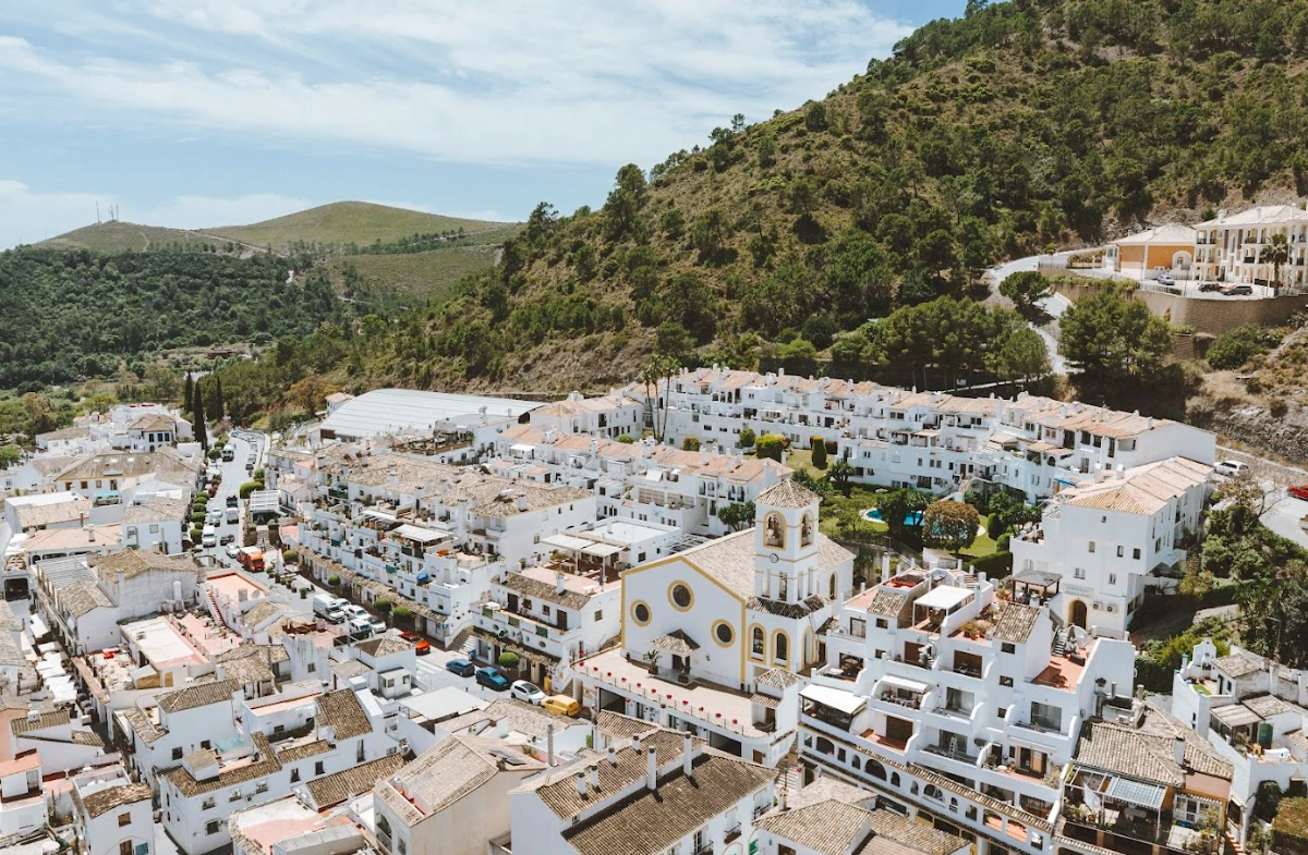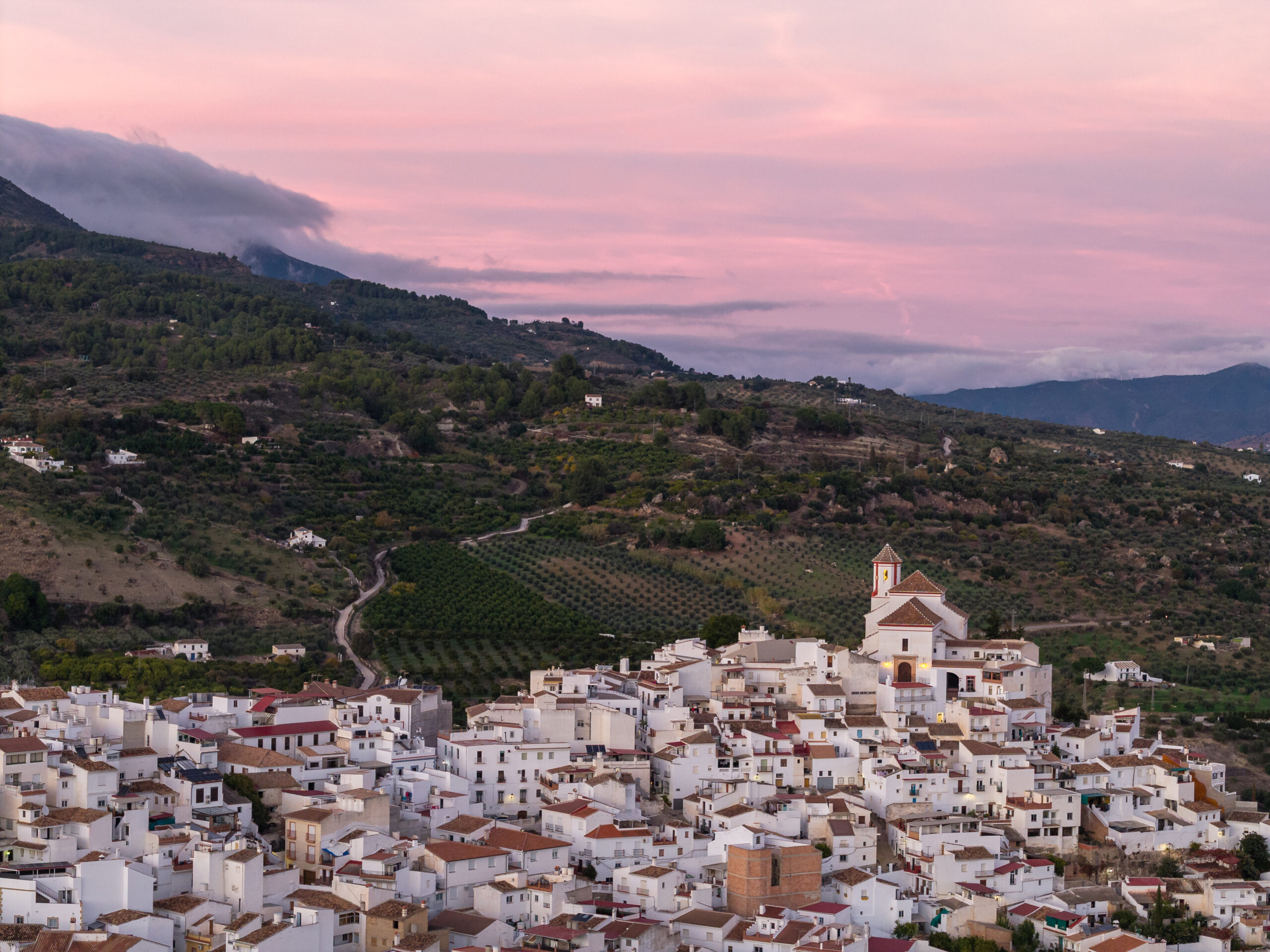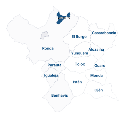
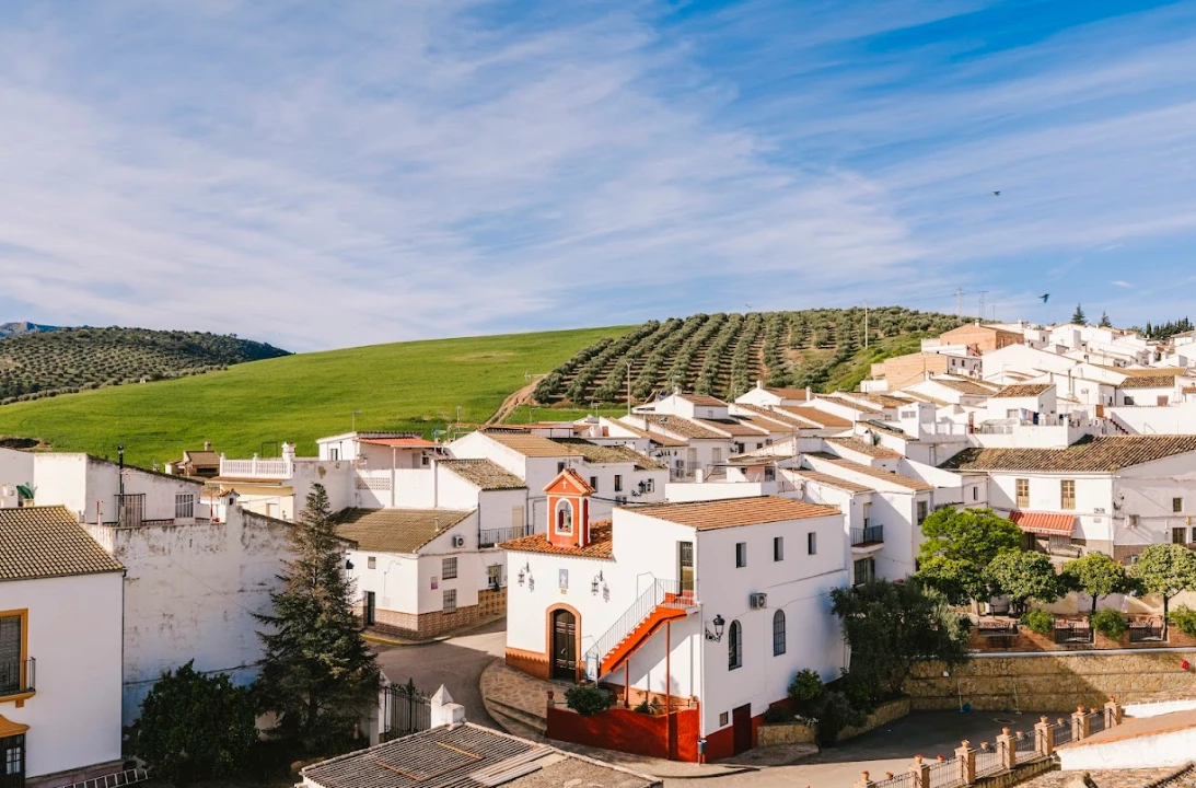
The small town of Serrato is located north of the Reserve, bordering the Guadalteba region. Unlike other towns, it is situated in an area of gentle, rolling hills, where the main crops are grains and olives. It is surrounded by the Sierra de Ortegícar, the Sierra de los Merinos, the Sierra de Juan Pérez, and the Sierra del Almorchón.
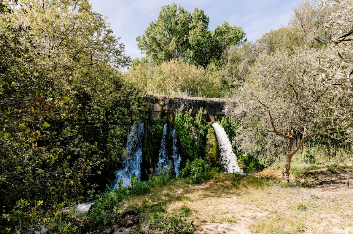
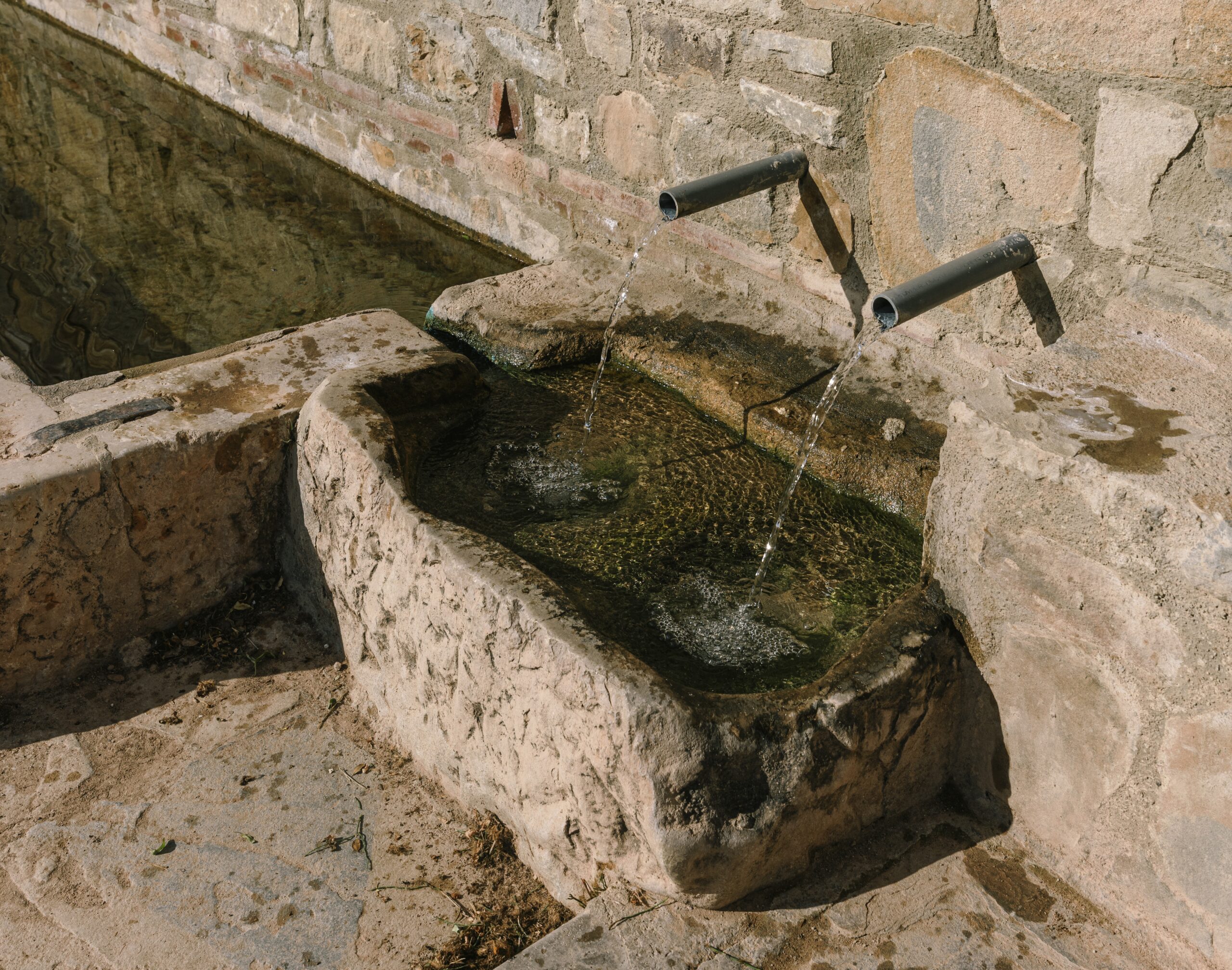
Thanks to the fertility of its land and the abundance of water resources—namely the Guadalteba River and the Cuevas del Becerro River—the area has been inhabited since prehistoric times. However, the town center is of Al-Andalus origin, and its Church of El Rosario was built on the site of the former mosque.
Until a few years ago, it was part of Ronda, but it succeeded in separating from it in 2014 after a lengthy administrative process. Among other things, this led to the annual celebration of Independence Day to commemorate this event. Its most typical dishes are olla de tagarninas and sopa hervida.
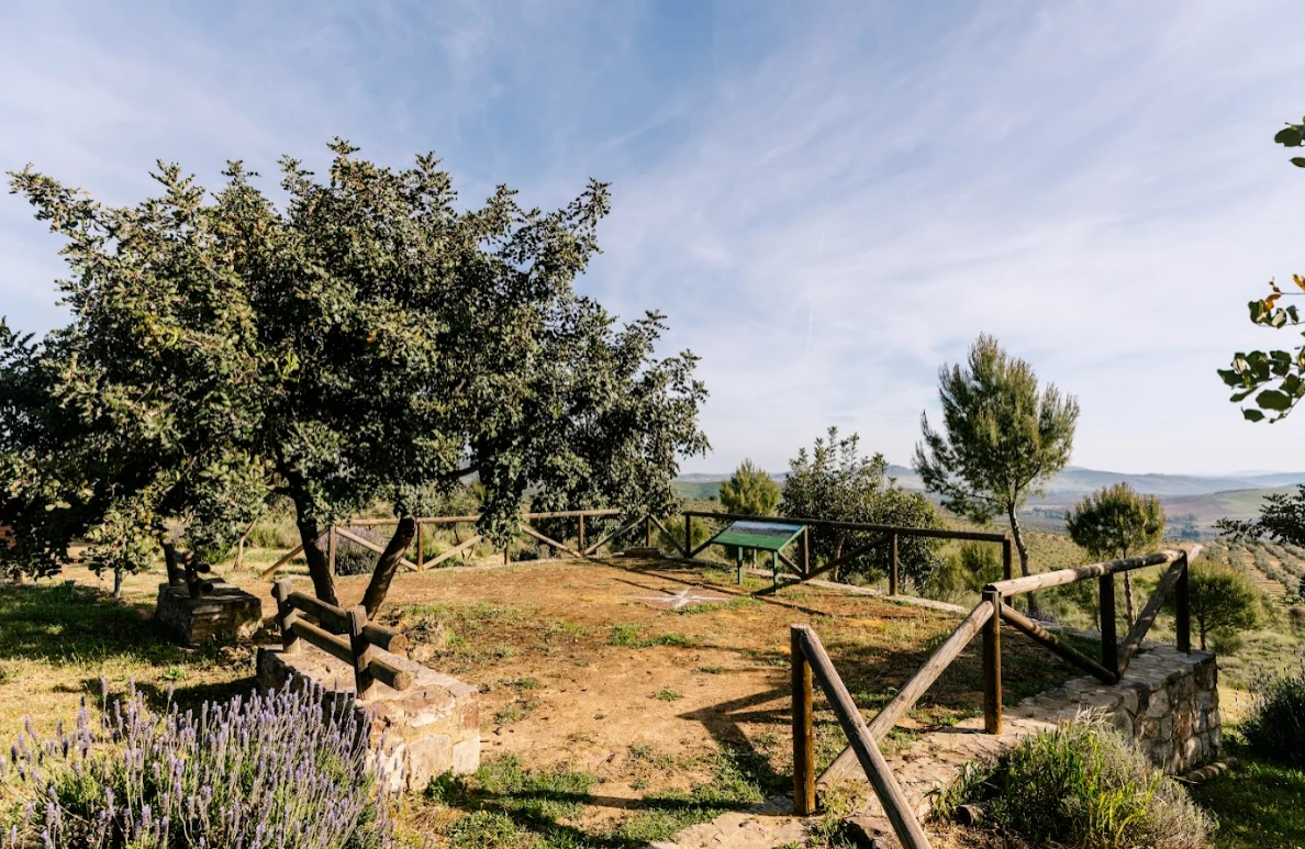
There are countless hiking trails in the surrounding area, making it the ideal destination for those looking to escape the hustle and bustle of the city, enjoy hiking, breathe in the fresh air, and fully immerse themselves in the authentic rural lifestyle.
Population
Patron saint festivals
C/ Caminillo, 1
Opening hours


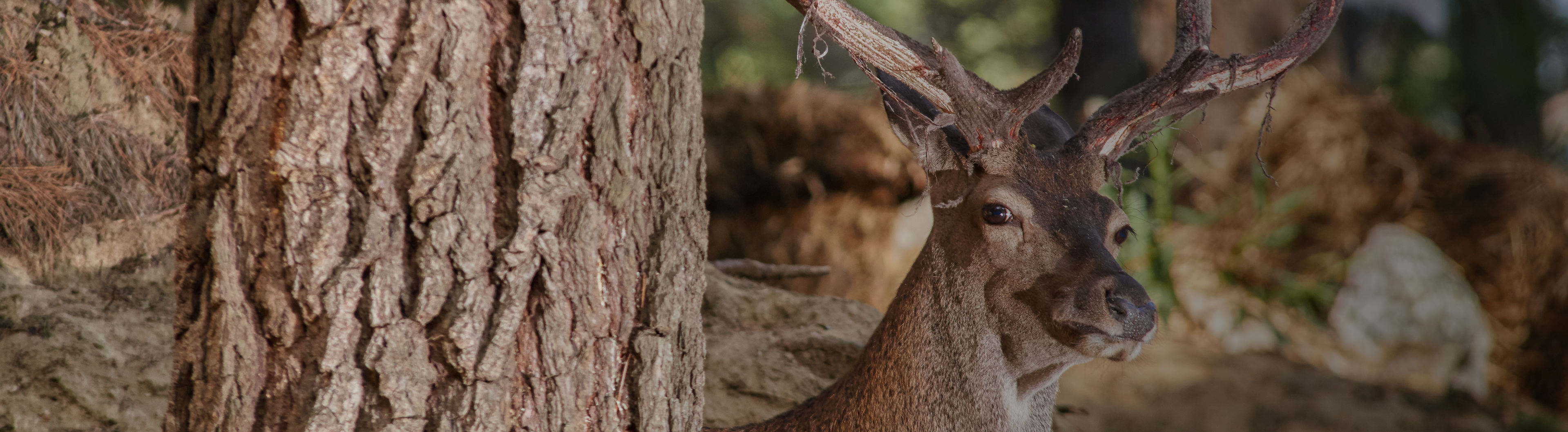
Peaks, forests and springs shape a protected landscape that invites you to walk, breathe and feel. A paradise to explore.

 Mancomunidad